Services
Surveying & Inspection
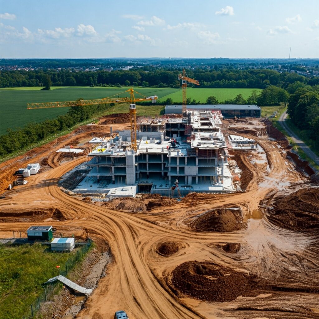
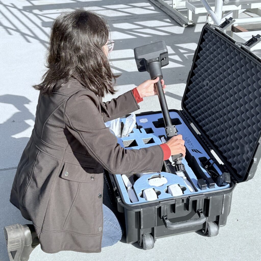
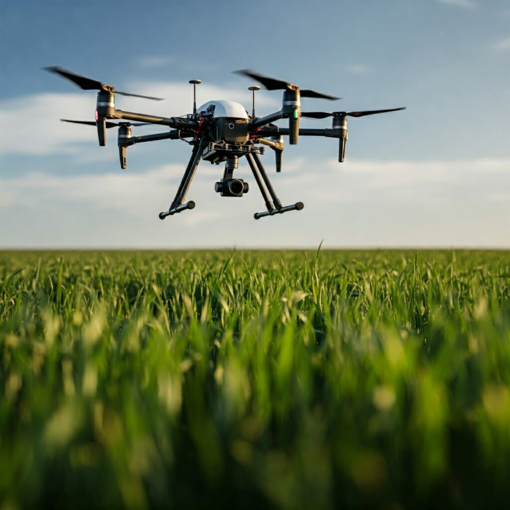
SkyZDlimit utilizes advanced drone technology to conduct precise surveys and inspections of construction sites, pipelines, and other infrastructure. Our detailed reports provide valuable insights into structural integrity, identify potential issues, and optimize maintenance and repair strategies.
Mapping and Modeling
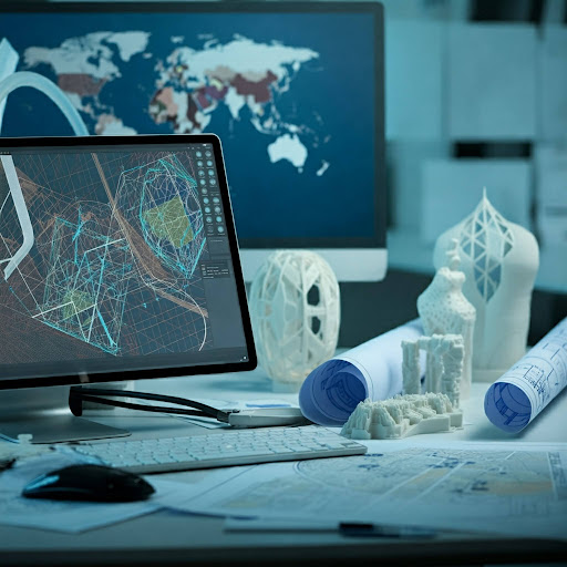
We utilize drones to create detailed 3D models and high-resolution maps for diverse applications, including construction, real estate, and environmental monitoring. Our accurate and reliable data supports informed decision-making and efficient project planning.

Data Collection & Analysis
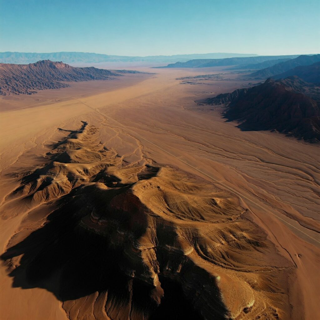
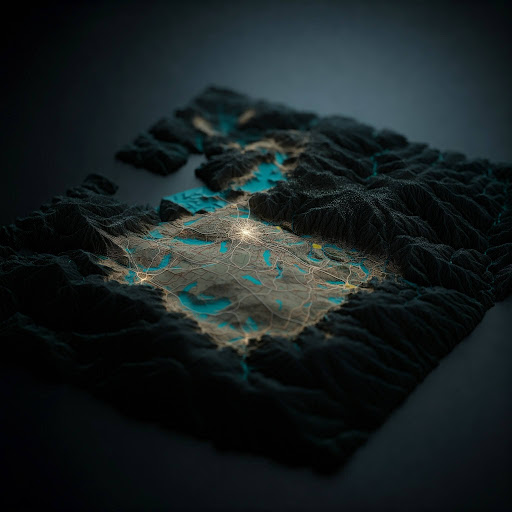
We leverage drone technology to collect precise and accurate data for a wide range of applications. Our data analysis expertise allows us to transform raw data into actionable insights. Whether it’s surveying vast terrains, monitoring environmental changes, or tracking infrastructure development, we provide comprehensive data solutions to meet your needs.

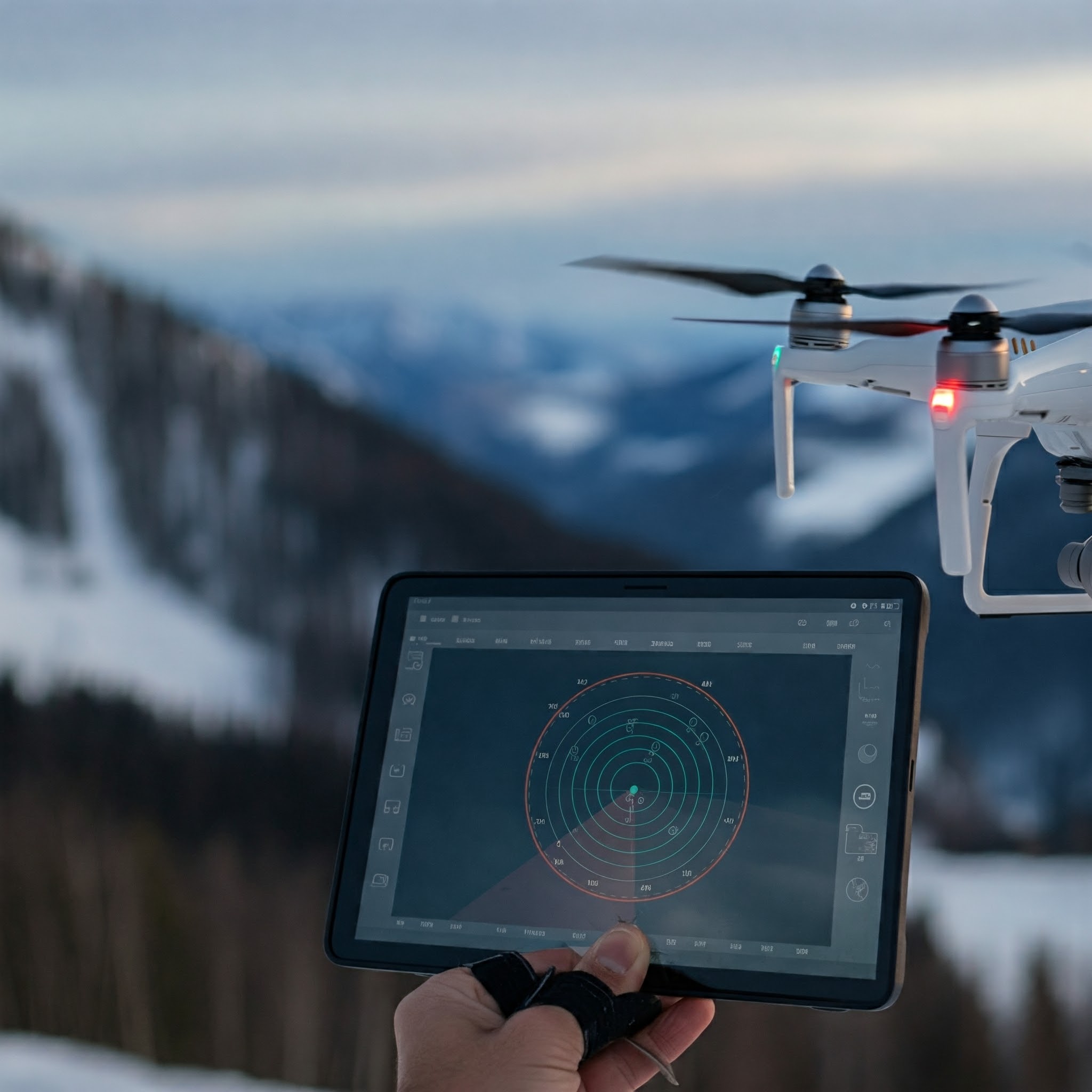

Aerial Photography & Videography
Our advanced drone technology enables us to capture breathtaking aerial photography and videography. Whether you need captivating visuals for real estate listings, construction progress documentation, or event coverage, we deliver stunning results that showcase your project from unique perspectives.

Search & Rescue Operations
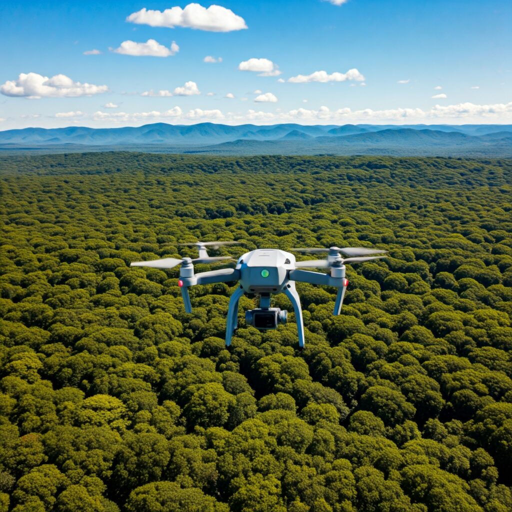
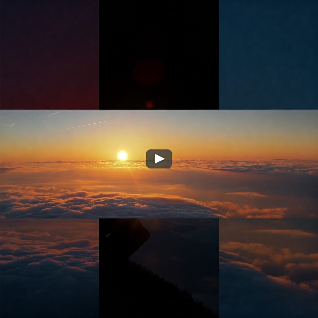
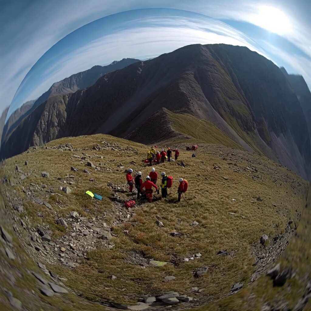
We support search and rescue operations by providing timely aerial imagery and data analysis to aid in locating missing persons or assets. Our drone technology enhances search efforts and improves response times.

Custom Drone Solutions
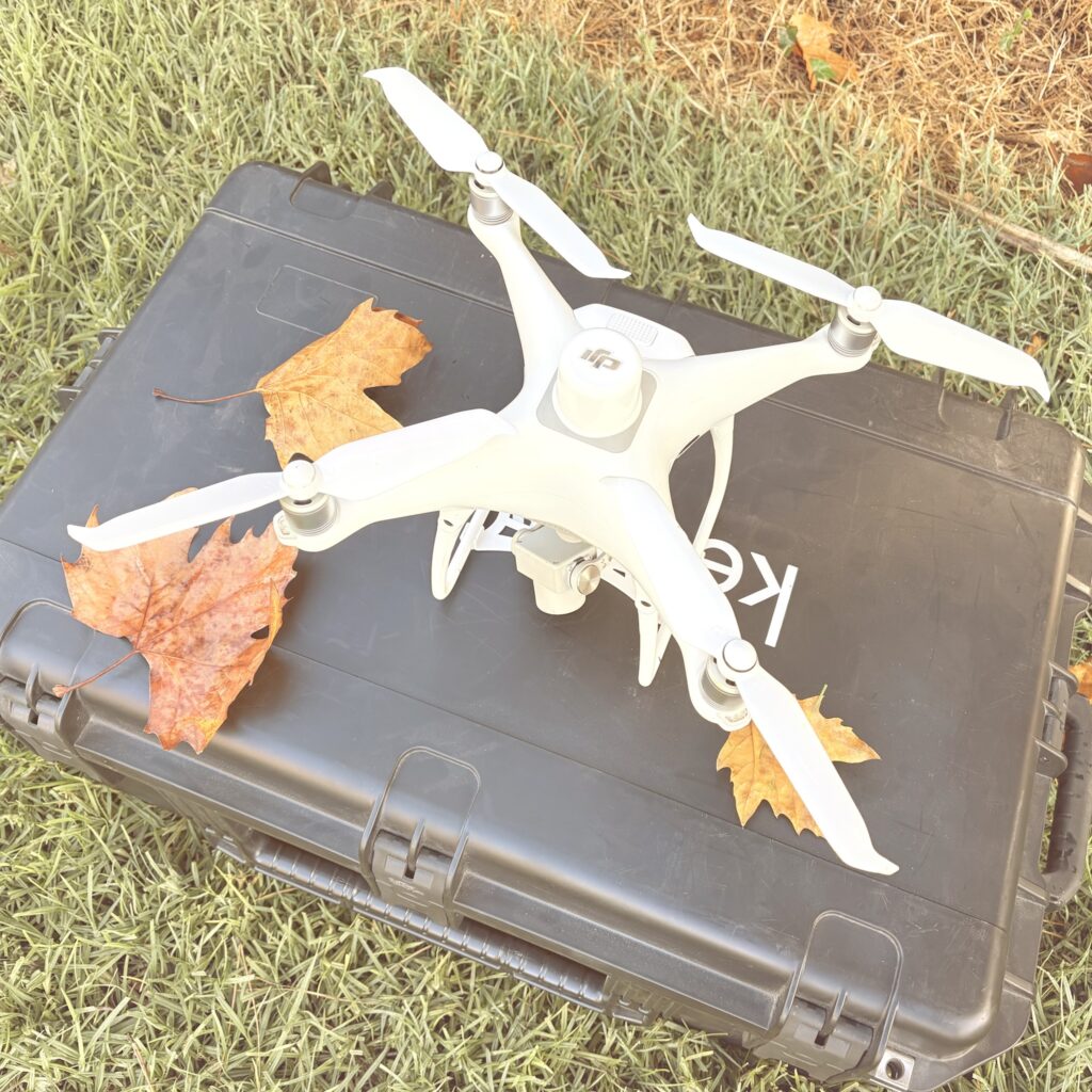
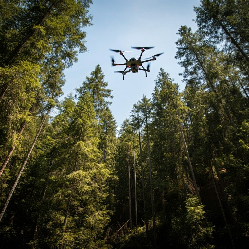
Our team of experienced drone pilots and engineers can tailor drone solutions to meet your specific needs. Whether you require customized drone hardware, software, or data analysis, we can provide tailored solutions to address your unique challenges. From custom drone builds to specialized data processing, we are committed to delivering innovative and effective drone services.
